FireMapper for Enterprise

FireMapper for Enterprise is a mapping tool designed to assist with the management of medium to large vegetation fires. With this tool, key personnel from Incident Management Teams can input and view the same ‘live map’ while on the fireground.

The live map can be shared with other operational personnel and crews, and coordination centres, and where required, other agencies such as Civil Defence, Police, Department of Conservation and the forestry industry. Sharing the live map assists in achieving a common understanding of the current situation and the planned action.

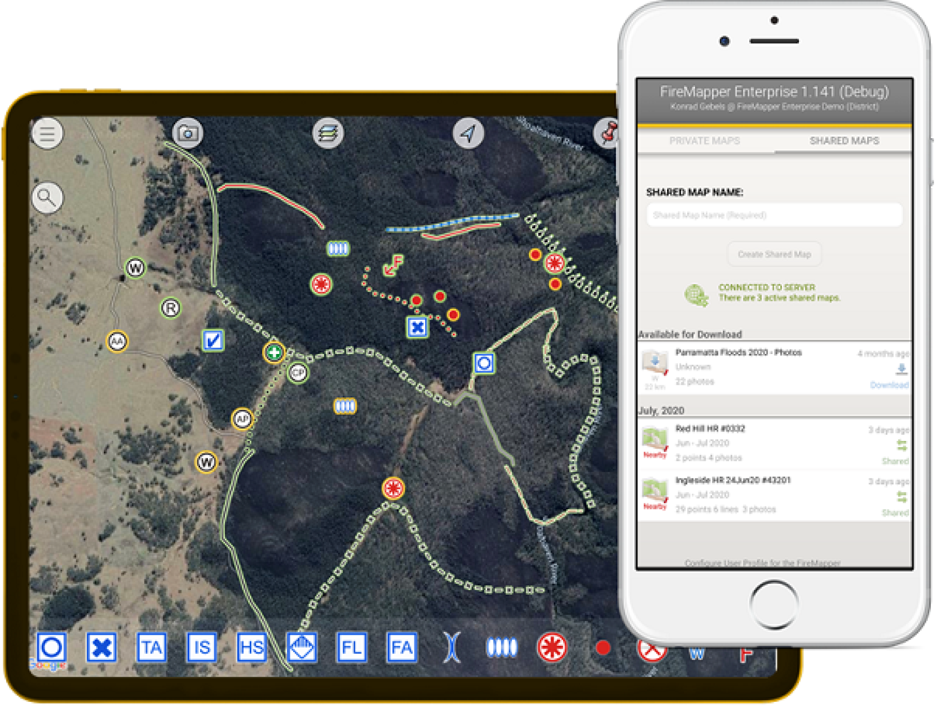
FireMapper for Enterprise was selected because it has good functionality offline. It is also easy to use and can assist in tracking of resources on the fireground, integrating with other GIS systems, which allows for multiple inputs into the map at once. Most of the features of a fire map can be entered from the mobile app.

Download from the Google Play Store or Apple App Store:

(external link) (external link)


Full permanent access licences are limited and generally issued to those who are on an executive roster for wildfire response. There are also shared licences which can be temporarily issued during a response if other people need access. FireMapper champions in the districts can issue temporary licences to internal or external people working on wildfire incidents

Support and quick reference guides

FireMapper support hub Accessing FireMapper via your internet browser

The shared map can be accessed via your internet browser(external link) if you have a FireMapper Portal account, or a token can be issued that give temporary access to view the map live through an internet browser. These temporary access tokens can be issued by the District FireMapper champions.

Purchasing a device for use with FireMapper

The FireMapper project does not provide devices as FireMapper will work on existing equipment provided by the relevant business unit (usually the district). FireMapper Enterprise works on Android or iOS devices that are less than 5 years old. However, a better-quality device will perform better. In particular the following features are recommended:

  • Avoid any WIFI only tablets and some cheap android tablets that often do not have a built in GPS and will be dependent on WIFI for deriving location and sharing of map features.
  • A device with a compass will aid navigation and when photos are taken it will record the direction you are facing when the photo is taken.
  • FireMapper uses the device GPS to record lines, display your location etc. The use of the device GPS consumes considerable power it is therefore important to have a device with a generous battery capacity.
  • Most phones and tablets with a SIM card have an adequate GPS but GPS quality of mobile devices is highly variable and finding information on quality if the GPS is difficult. Cheaper devices may give a less accurate location with an error several times greater than an iPhone or other reasonable quality phone. If high accuracy is required a Bluetooth GPS, such as Garmin Glo 2(external link) or similar, will give even better accuracy than mobile devices.
  • It is much easier to gain situational awareness or discuss map features if you have a larger screen. Discussions between more than a couple of people may require the larger screen of a tablet or computers.
  • Advanced users may wish to preloaded devices with custom base maps provided by a GIS operator. Depending on the resolution of the maps this can use large amounts of storage (e.g. 130GB for base maps for a region with medium level of detail). If the device takes an SD card the maps can be stored there.
  • The incident ground is a harsh environment so ensure that your device has a robust case to protect it from dust, water, bumps and scratches but avoid cases that have magnetic components which may interfere with the compass.

The Fire Mapper Portal can be access from most modern browsers such as Edge or Chrome, including browsers on mobile devices.

Introduction for executive officers who respond to wildfires

If you are a new user of FireMapper for Enterprise, this detailed guide offers a full introduction to the application for executive officers who respond to wildfires:

Introduction to FireMapper portal for coordination centres and ICUs

If you are a new user of FireMapper for Enterprise portal, this 10minute guide will give you an overview of the system and introduce how to use the map portal for viewing vegetation fires:


Printable quick reference guide for basic use of FireMapper mobile app

A quick reference guide for new users of the FireMapper for Enterprise.

Printable quick reference guide for FireMapper portal use

A quick reference guide for the use of the FireMapper for Enterprise on the FireFront portal. 

FireMapper Enterprise Quick Reference Guide – Portal map viewing [DOCX, 416 KB]

Quick reference guides for GIS operators

A quick reference guide for GIS operators within an incident management team to access FireMapper incident map:

A quick reference guide for bringing the incident map through API to other GIS platforms such as Civil Defence GIS.

Producing custom base maps to add to FireMapper devices. FireMapper mobile application has a range of base maps available via the FireMapper. In addition, it is possible for a GIS person to produce custom base maps that FireMapper users can load into the devices for FireMapper to use. These base maps could include data from land management partners, or it could include recent high-resolution imagery from drone flights or recent satellites.

Refer to the FireMapper instructions(external link).