

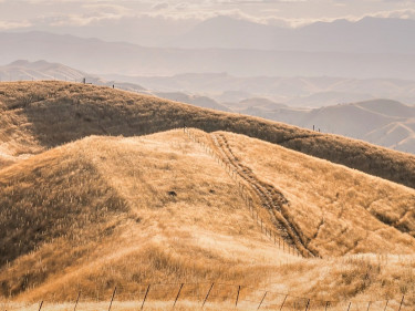
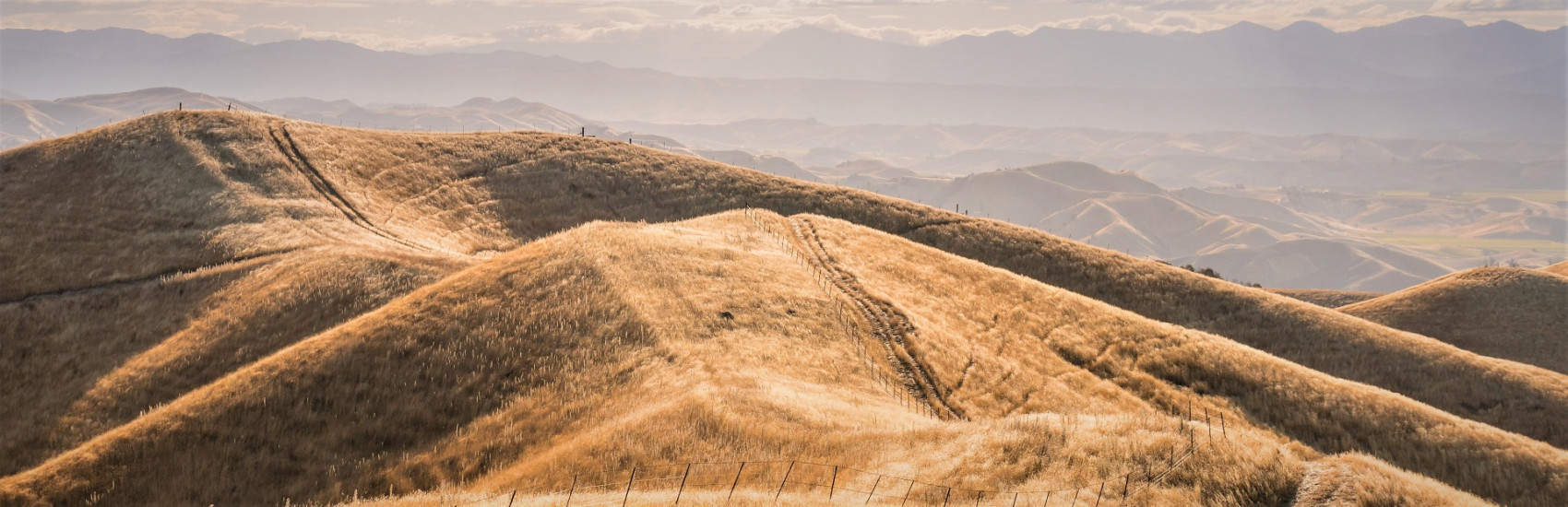
The New Zealand Wildfire Summary report looks at wildfire incidents in New Zealand over the previous year to provide learnings for future wildfire seasons and to help target local risk reduction initiatives. This is the second year the report has been commissioned by Fire and Emergency. The report includes an evaluation of climatic conditions and incident statistics from the previous wildfire season and aims to help Fire and Emergency build on operational reduction and readiness measures, and identify opportunities for continual improvement.
Trends in the number of wildfires, area burnt, and fire causes are identified using data from Fire and Emergency New Zealand’s fire incident reporting database. This report also summarises New Zealand’s fire weather and climatology information from the Fire Weather System.
The report is undertaken by Scion, a Crown research institute that specialises in research and science for the forestry sector. Scion is New Zealand's only provider of specialist fire research expertise in rural and forest landscapes.
2020/21 wildfire season update
The 2020/21 wildfire season (October 2020 to April 2021) was generally not as significant compared to the 2019/20 season, with the exception of area burnt, and a number of significant autumn fires in the Mackenzie Country and Otago. These fires occurred prior to or immediately at the start of the traditional fire season and were largely due to winter frost curing and strong wind events, coupled with below normal rainfall over winter leading into spring. Fortunately, there was a relative lack of fires of much significance for the rest of the fire season.
At a national scale, the total number of wildfires decreased, however the area burnt increased when comparing this season with the 2019/20 season. The drop in the total number of wildfires could be attributed to the less extreme fire weather conditions (outside of the late winter/autumn period), COVID-19 restrictions and improved public education on preventing wildfires.
In terms of area burnt, and loss of houses, the 2020/21 wildfire season is considered the second most significant season in the last 36 years, and the Pukaki and Ōhau fires contributed significantly to this. In terms of area burnt, the 1998/99 season remains the worst on record.
Download the full 2020/21 wildfire season update report
A summary of other key findings from the 2020/21 wildfire season
- The country’s weather was largely influenced by a non-traditional La Niña weather pattern, with high-pressure systems positioned over the country and towards the Chatham Islands.
- Winds across New Zealand were largely northerlies, and there were significant rainfall events for some locations.
- Northern districts experienced dry to extremely dry conditions early in November, which improved by early January.
- Eastern locations around the country experienced widespread dry conditions (as opposed to drought) which extended out into June.
- The West Coast had an increase in both fire incidences and area burnt relative to its historical norms.
- There was a decrease in the number of wildfires but an increase in area burnt in Northland, Auckland, Bay of Plenty, Manawatu-Whanganui, Wairarapa, Wellington, Canterbury, Mid-South Canterbury, and Otago.
- There was a decrease in both the number of wildfires and total area burnt in Waikato, Hawke’s Bay, Taranaki, Nelson/Tasman and Marlborough, and Southland.
- No Districts recorded an increase in the number of wildfires combined with a reduction in the total area burnt. However, Gisborne recorded a decrease in number of wildfires but no change in the area burnt.
- Auckland accounted for the highest number of wildfires for each of the last two seasons for the North Island and whole country. Canterbury had the highest number in the South Island.
- Mid-South Canterbury and Otago districts experienced the greatest area burnt in the country this season, mainly due to very large individual wildfire events occurring in each of these Districts.
Quick statistics
- There were 4,586 fires and 13,348 ha burnt between 1 July 2020 and 27 June 2021.
- The total area burnt is well above the 2019/20 season, and well above the 5- and 10-year averages.
- This season the North Island accounted for two thirds of the country’s wildfires.
- The South Island accounted for 88% of the area burnt.
Note: This document includes revised figures since the 2019/20 wildfire season summary report, due to the completion of missing incident reports and full annual years of statistics (dating back to 2018). Therefore, there will be differences if comparing the 2019/20 report to this summary. This summary is the most up-to date and contains data within figures to compare 2019/20 and 2020/21 seasons.
2019/20 wildfire season update
The 2019/20 wildfire season (October 2019 to April 2020) was significant, with many locations around the country experiencing drought that extended out into late autumn. The climate during the 2019/20 season resulted in record fire dangers over many regions due to the prevailing drought conditions.
Nationally, the total number of wildfires and area burnt in 2019/20 fire season increased when comparing with the previous season and the 5- and 10-year historical averages. At a national level, the total area burnt this season was considered one of the most significant for at least 12 years, however, the 1998/99 season remains the worst on record.
The 2019/20 and 2018/19 seasons were also significant because two individual wildfires burnt the largest areas recorded within the last 70 years.
Download the full 2019/20 wildfire season update report
A summary of other key findings from the 2019/20 wildfire season
- This season, sea surface temperatures were typically warmer than normal, and high-pressure systems dominated, especially during summer and into late autumn. These warm air masses resulted in unusually settled weather with warm days, light winds, and long spells of little to no rainfall.
- Summer months were also characterised by more frequent north-westerly winds.
- The highest ever Drought Code (DC) and Build-up Index (BUI) values were recorded this year in Northland, Auckland, Waikato, Bay of Plenty, Hawkes Bay, Wairarapa, Whanganui/Manawatu, Canterbury and Southland.
- Increases of fire incidences and area burnt due to drought were found in Waikato, Bay of Plenty, Hawke’s Bay, Wairarapa, Taranaki, North-Central Canterbury and Mid-South Canterbury.
- There was an increase in the number of wildfires, but a decrease in the total area burnt in Northland, Auckland, Central North Island, Gisborne, Wellington, Whanganui/Manawatu and Southland.
- Nelson/Marlborough and the West Cost experienced both a decrease in the number of wildfires and area burnt.
- Auckland and Canterbury have accounted for the highest number of wildfires for the last two wildfire seasons.
- Nelson/Tasman and Otago regions experienced the greatest area burnt in the country.
Quick statistics
- There were 5,735 fires and 10,415 ha burnt between 1 October 2019 and 31 April 2020.
- The total area burnt was well above the 2018/19 season, and well above the 5- & 10-year averages
- The North Island accounted for three quarters of the country’s wildfires (74%).
- The South Island accounted for 85% of the area burnt across the country.